
Illustration


Map of the East Coast from the River Thames to Edinburgh, from Great Britain's Coasting Pilot,ink on paper by Greenville Collins, c. 1682-1694. Probably drafted in 1682 but not published until 1693, this chart is the first to show with accuracy the distance between the Leman and Ower sandbanks and the mainland.
©Antiqua Print Gallery/Alamy
Related Images
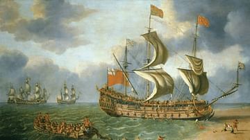
The Wreck of the 'Gloucester' off Yarmouth, 6 May 1682

Admiral Sir John Berry

Crécy Window, Gloucester Cathedral
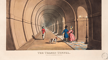
Thames Tunnel Illustration
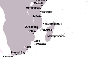
Swahili Coast Map

James, Duke of York
Cite This Work
APA Style
Gallery/Alamy, A. P. (2023, January 11). Map of the East Coast from the River Thames to Edinburgh. World History Encyclopedia. Retrieved from https://www.worldhistory.org/image/16878/map-of-the-east-coast-from-the-river-thames-to-edi/
Chicago Style
Gallery/Alamy, Antiqua Print. "Map of the East Coast from the River Thames to Edinburgh." World History Encyclopedia. Last modified January 11, 2023. https://www.worldhistory.org/image/16878/map-of-the-east-coast-from-the-river-thames-to-edi/.
MLA Style
Gallery/Alamy, Antiqua Print. "Map of the East Coast from the River Thames to Edinburgh." World History Encyclopedia. World History Encyclopedia, 11 Jan 2023. Web. 14 May 2024.